Isochrones
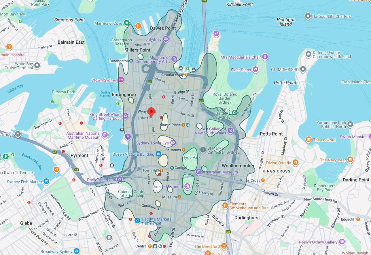
Google Maps Platform recently launched an Isochrones API (currently in preview) that draws the area reachable within a given travel time along the real road/path network, rather than a simple “as the crow flies” radius. Below you can see a static image of what Google thinks is a 30-minute walk from the Occidental Hotel in Sydney’s CBD.
Loading...